Title Image: NOAA GOES-East
Key Things to Watch As Ian Develops
Editor’s note: The following is our latest update on the status of Tropical Storm Ian, as presented in this morning’s CAC email bulletin.
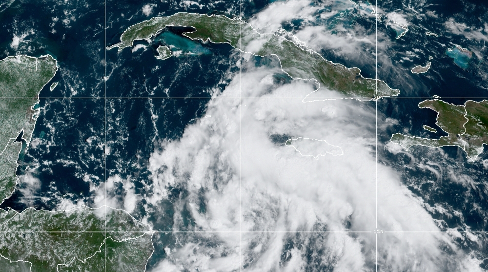
Whether the Suncoast avoids a full on onslaught from still Tropical Storm Ian depends on what happens and when during the next 36 hours. So here is what to look for.
- Should Ian cross directly over the Cayman Islands, probabilities of a damaging hit to the Suncoast increases. If the center of Ian passes west of the large island, then chances decrease.
- Should Ian rapidly intensify today and tonight, the storm will have a tendency to turn more northward sooner than if it intensifies more slowly or later.
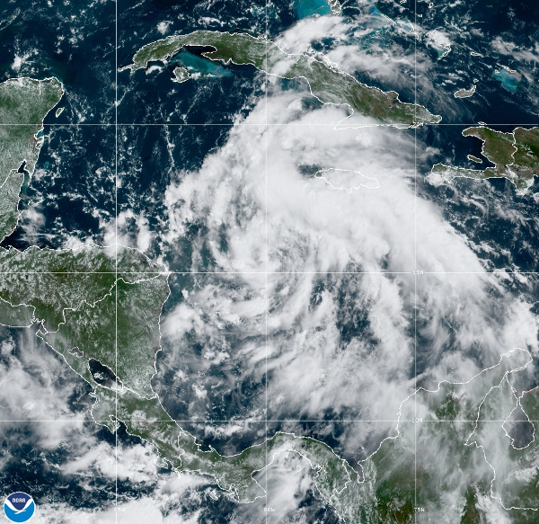
In the past 24 hours the likely path of the storm has shifted to the west. Still, with days to go before the storm passes, the path and intensity forecast is still uncertain enough that VIGILANCE is the word!
The CAC is planning on continuing updates on the storm until it is gone. You may view these articles on the CAC website, Sarasota Magazine, or if you sign up for our CAC monthly newsletter using the “Subscribe” link below, you will automatically receive an email update in your mailbox as soon as it is posted.